
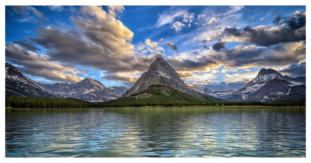
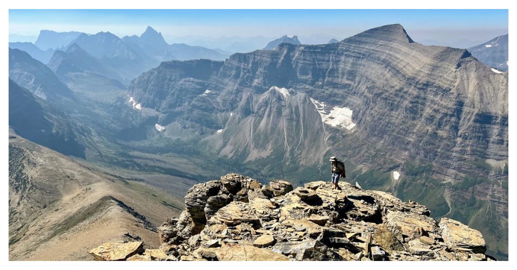
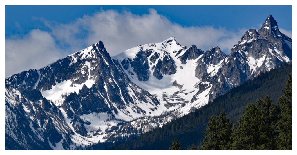
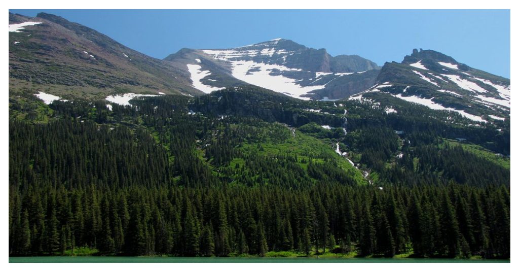
There is an excellent reason why Montana Mountains are known as the “Land of the Shining Mountains”. Montana has more than its fair share of majestic mountains with over 100 mountains in the state’s western region and 77 identified ranges in the Rocky Mountains. A continental divide also runs across the state. The main tourist destination in Montana is Glacier National Park, which is located between the Rockies and the Great Plains and is considered the highest mountains in Montana. Montana residents and visitors have a choice when planning their outdoor experience because the state is home to numerous 12,000+ foot, snow-capped peaks, crystal-clear emerald lakes, old-growth forests, difficult mountain treks, and nice hiking trails.
Before visiting, we advise calling the restaurants and attractions to confirm the most recent opening hours.
1. Divide Mountain
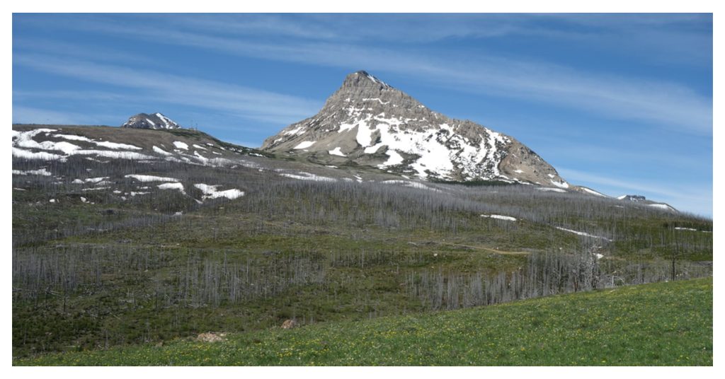
Just south of the town of Saint Mary in Montana’s Lewis Range in Glacier National Park is Divide Mountain, which has a peak with an elevation of 8,665 feet. The Blackfeet Native Reservation and Glacier National Park are separated by it. It is well-liked by novice climbers because it is regarded as an “easy mountain.” Even so, the views of St. Mary and all the highest mountains in Montana Rockies are worth the effort once you reach the summit. You can avoid going between the rocks to reach the ridge by staying to the right as you approach the trailhead at the communication towers. There is a great slope in this direction. There are flowers in bloom during the season, and there aren’t any big trees to block the view, so the landscape is open and breathtaking everywhere you turn. On top, there lies a burned-out fire lookout cabin.
2. Mount Grinnell
Mount Grinnell, one of the park’s most stunning peaks, is situated between Mount Gould and Mount Wilbur in the westernmost point of the park’s Many Glacier Region. The top is accessible by a number of trails. The Lake McDonald Area peaks to the west and the Livingston and Lewis mountains in the distance are spectacular to see when approaching from the southwest along the Granite Park Chalet Trail. Mount Grinnell offers a view that extends all the way to Chief Mountain once you’ve reached the peak. The trailhead elevation gain is 4,550 feet, but since you will be climbing and descending, the actual round-trip distance is only about 13 miles. Remember that wildlife can be found throughout the Northern Rockies. Above the tree line, there are mountain lions, grizzly bears, and black bears.
3. Holland Peak
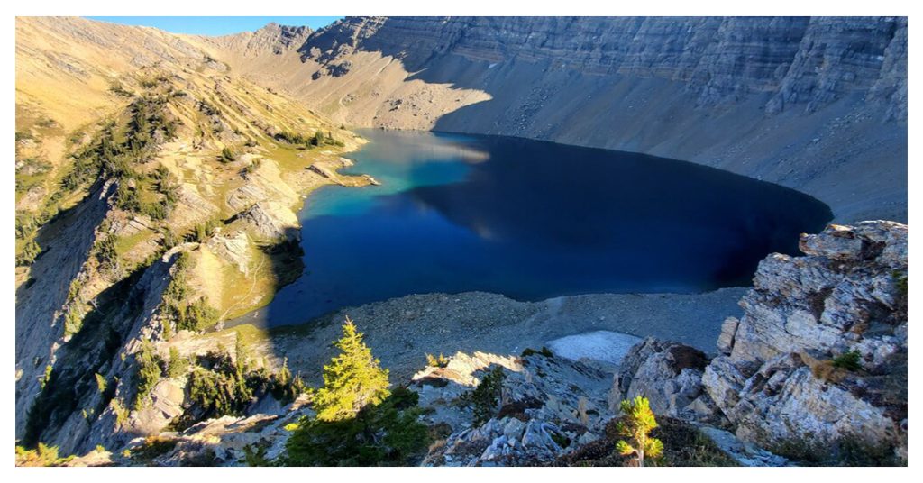
Holland Peak, at 9,356 feet, is the tallest peak in the fearsome, untamed Swan Range as well as the Montana Mountains, at the westernmost part of the Bob Marshall Wilderness. Although the journey is only about 5 miles, the last 4 miles will increase your height by 5,000 feet. It is achievable as a day hike because there is enough challenging scrambling, more than one vertical increase, and twisting brushy routes. From Holland Peak, one can see “The Bob” to the east and Swan Valley to the west. Famous for its sheer vertical ascent above the picturesque Rumble Creek Lakes, the mountain’s west face is known for its feature. The exit of the upper lake falls into the lower lake in a little waterfall. There are more fishermen than hikers on the mountain, and the lakes are stocked with fish.
Read More – A few of the best things to do in Hawaii are ‘Sea, Surf, Sand, and Sun’.
4. Flinsch Peak
Flinsch Peak is 2.3 miles west of Rising Wolf Mountain in the Lewis Range. Crossing the Continental Divide, it. East of the top is where you’ll find Young Man Lake. It is surprisingly easy to climb from the crossing to Flinsch Peak, which rises to a height of 9,225 feet and offers breathtaking views of the neighboring Montana Mountains. It was given the name Rudolf Ernst Ferdinand Flinsch in honor of a young mountain goat hunter from Austria who went there in 1892. Early in the morning is the best time to start the ascent from the North Shore Trailhead, which is located in Two Medicine Valley. Since there isn’t much above No Name Lake, bring adequate water.
5. Trapper Peak
The highest point in the Bitterroot Mountains, Trapper Peak, is 10,157 feet high and is located 11.7 miles from Darby, Montana Mountains. On the broad ridge between Trapper Creek and Boulder Creek, Trapper Peak is the highest peak. There is a better viewpoint further south, closer to Connor, but the point-of-interest sign a few miles south of Darby is where most tourists stop to take in the view. Due to its height and perhaps because it is not difficult to climb, Trapper Peak is one of the most popular climbs in the Bitterroot Mountains. There are a few stones that must be navigated with hands, and there is some talus at the peak, but nothing dangerous. You can choose from a variety of trailheads that lead to routes with varying degrees of difficulty and elevation gain. The Trapper Creek Trailhead, with its considerable elevation gain, extremely steep slopes, and difficult terrain, is one of the most difficult. The region surrounding the summit of Trapper Peak is designated as wilderness.
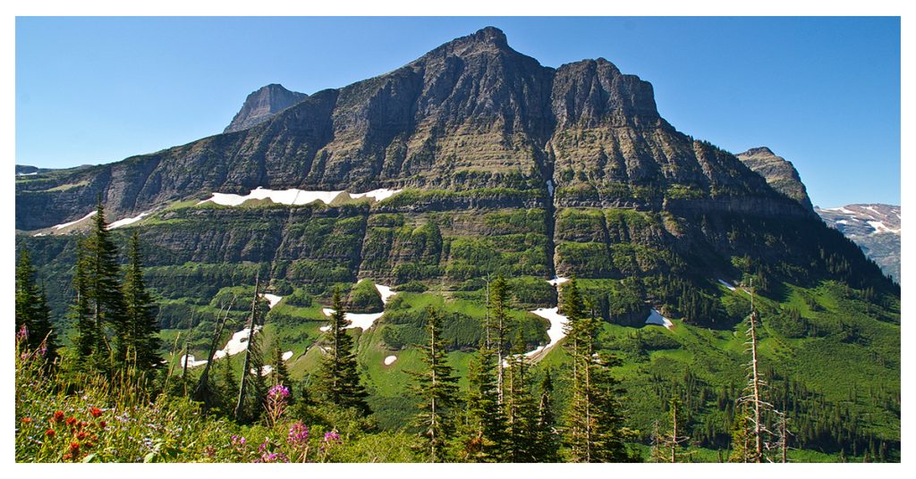
6. Triple Divide Peak
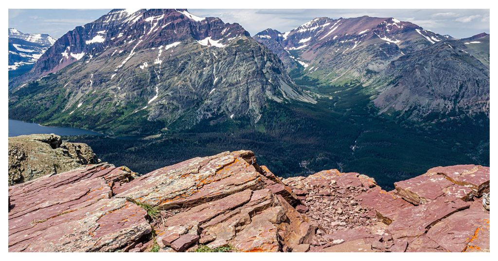
8,020-foot-tall Triple Divide Peak is a mountain that is a component of the Lewis Range, the Rocky Mountains, and Glacier National Park. These mountains are divided by the Continental Divide, which creates a coastal and continental climate with a staggering variety of flora and animals. The Pacific, Atlantic, and Arctic Oceans are thousands of kilometers apart and can be reached by the waters flowing down from the peak’s sedimentary soil, hence the term Triple Divide. The 16-mile out-and-back journey, with over 3,000 feet of elevation gain, takes around 2 days. The trail ascends steadily along Cut Bank Creek as it leaves the Cut Bank trailhead. The 9.375-foot Mount James is traversed without switchbacks as it climbs slowly. The stunning sapphire-blue Medicine Grizzly lake may be seen if you look south toward the Triple Divide Pass.
7. Rising Wolf Mountain
One of the first mountains you encounter as you approach the Two Medicine region at the southeast corner of Glacier National Park is Rising Wolf Mountain. The Lewis Range of Rising Wolf Mountain includes the mountain, which is 9,518 feet tall. The vistas, which include valleys, mountains, and hanging lakes, are worth it despite the difficult and drawn-out ascent. Despite just being about 10 kilometers long, the difficult off-trail scrambling seems considerably longer due to the height increase of 4,500 feet. The Blackfeet hold great respect for the park’s Two Medicine area.
8. Stanton Mountain
Stanton Peak, at 7,750 feet, is regarded as an “easy” mountain in terms of the Northern Rockies, despite the fact that you will gain approximately 4,600 feet in height. After 2.3 miles of pleasant track, there is roughly half a mile of challenging bushwhacking, then a larger expanse of open forest. Following that, there is a difficult walk to the summit, which offers breathtaking views, via an ancient burn with no shade, tundra, and then bare rocks. As there is snow up until almost the end of July, this peak is a wonderful early-season climb that most experienced climbers can complete in approximately 3 hours. Views of Lake McDonald and Apgar Village, which are located on its edge, are spectacular from the peak. Remember that there is no more water after you cross a brook early on.
9. Allen Mountain
North-northwest of Cracker Lake in the Lewis Range of Glacier National Park lies Allen Mountain, which rises to a height of 9,376 feet. In Glacier Valley, Allen Valley is one of the three highest summits. It is a large mountain, but when viewed from the eastern shore of Swit current Lake, where you can see its genuinely stunning neighbors like Mount Wilbur or Grinnell Point, it does not seem as magnificent. Beginning from the Many Glacier Hotel, you will ascend a large, scree-covered mountainside before reaching extremely steep cliffs and a well-rounded sub-8,000-foot summit at the end of a lengthy ridge that continues south to the top. There are various approaches to Allen Mountain, depending on the level of challenge you choose. The High Traverse/Great Break Route is one of them; it takes you to the lovely Snow Moon Basin by way of a game trail.
10. Mount Oberlin
In the Lewis Range of Glacier National Park, Mount Oberlin, which has an elevation of 8,180 feet, is situated immediately to the northwest of Logan Pass, one mile from the Continental Divide, and north of Clements Mountain. There is a 4-mile trail that will take you up to 1,500 feet in elevation. There are steep slopes on the trail, due to which it takes you up to 7 hours to reach the summit and return. You might be fortunate enough to see bears and mountain goats in addition to the stunning scenery. To get to the trailhead, take the Going-to-the-Sun Road through Glacier National Park, which is a fantastic journey in and of itself. At the foot of Logan Pass is where the trek begins. All the way to the peak, the track is clearly marked with cairns and is simple to follow. You’ll have a clear view of Mount Gould, the Garden Wall, the Livingston Range, and the Lewis Range from beginning to end.